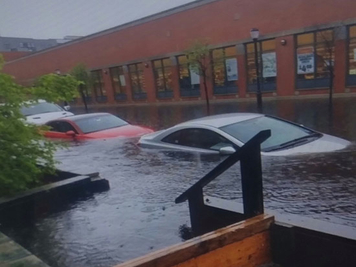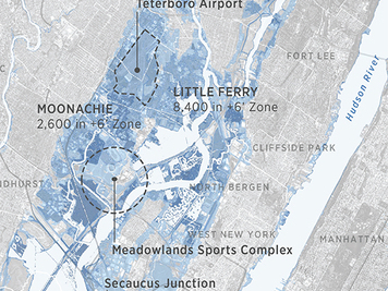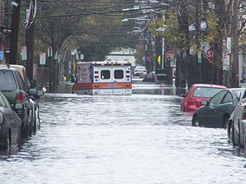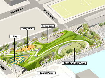
First addition to Hoboken’s linear waterfront park since 2007 at the Weehawken Cove will protect against future storm surges
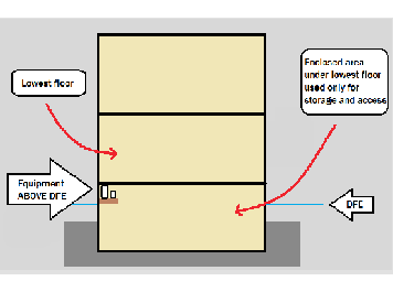
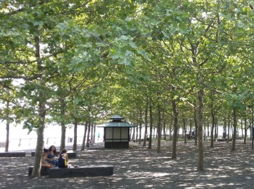
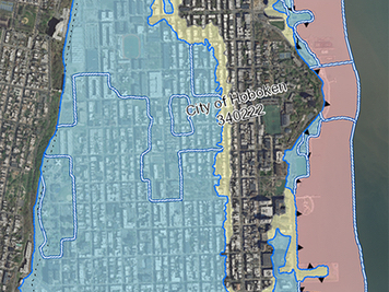
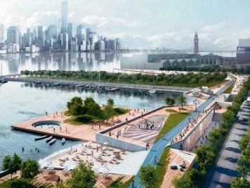
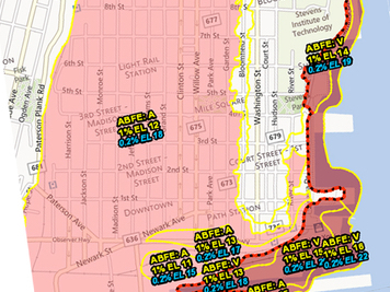
Significant progress for Hoboken’s continuous, public waterfront park, first proposed by FBW in 1990, will be made in 2024-2025 FBW | January 31, 2024 Construction of a 2.5-acre waterfront park at the north end of Hoboken at the Weehawken Cove has started. This will be the first major [...]