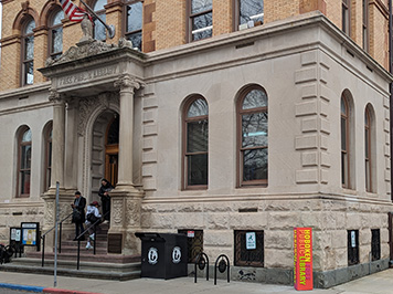
Thursday, February 22, 2024 | 6:30 – 7:30 p.m. | Hoboken Public Library, 500 Park Avenue
FULLY BOOKED! PLEASE CONTACT US IF YOU WOULD LIKE TO BE PLACED ON THE WAITING LIST.
Across the country in the 18th and 19th centuries, city founders adopted official maps, early plans that shaped the growth and development of their respective cities. In Hoboken, Col. John Stevens established the Loss Map of 1804, produced by the surveyor Charles Loss. As Hoboken grew, city officials uniformly extended the streets, blocks and lots to the north and west. The character of Hoboken as an urban village was set into motion more than 200 years ago with this original plan.
In the latter half of the 1900s, city planning lost its way. Municipalities abdicated their planning authority and instead allowed private developers to initiate development projects and drive the planning process. This is reflected in the recent development of the Hudson River waterfront starting in the 1980s. In Jersey City, Weehawken and all the way up to Edgewater, municipalities failed to adopt official maps. Private developers initiated plans of their own and exerted their influence over city officials.
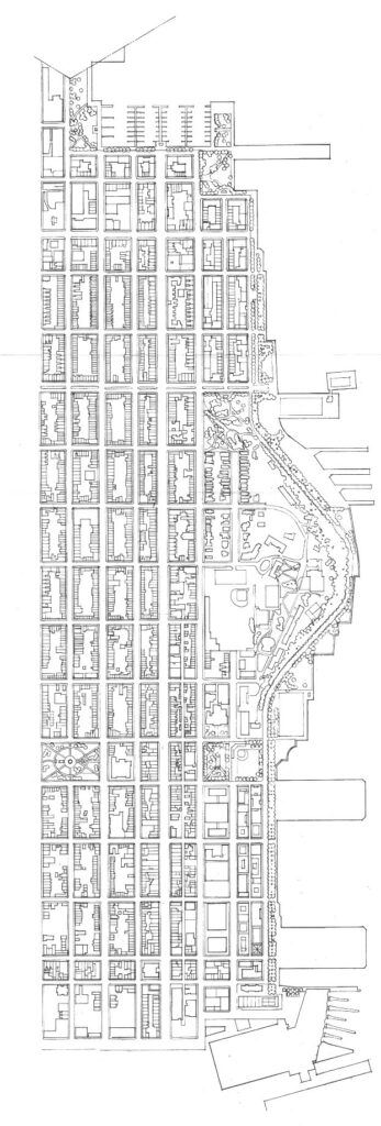
Hoboken was the exception. A Plan for the Hoboken Waterfront, created in 1990 has shaped new development at the water’s edge. This plan was based on time-tested urban design principles and the understanding that the water’s edge belongs to the public. Following these principles has resulted in the success of Hoboken’s waterfront.
Ron Hine, the Executive Director of the Fund for a Better Waterfront (FBW), will explore these subjects in his slide presentation/lecture on February 22 at the Hoboken Public Library. He is one of the founding members of FBW and worked closely with the professional team that created A Plan for the Hoboken Waterfront.
Mr. Hine came to Hoboken in 1969 and has worked for, and helped to found, a number of nonprofit organizations.


